Well, posting a map has taken a little longer than I intended but a lot has happened — two eye cataract operations within four weeks of another at short notice. I have for several months been having problems with my vision and I finally went to my optician two months ago as good as, who told me I had a cataract on my left eye and wrote to my GP. Within three days I was invited to attend a pre-op appointment and I had the operation a fortnight later. The surgeon told me that there was a cataract on my right eye as well and I was offered a cancellation three weeks after my left eye was done. It still isn't a fortnight since my second op, but I have had a post-op check and told I now have 20-20 vision and all I needed was a pair of reading glasses, so here I am back at the computer and the map completed.
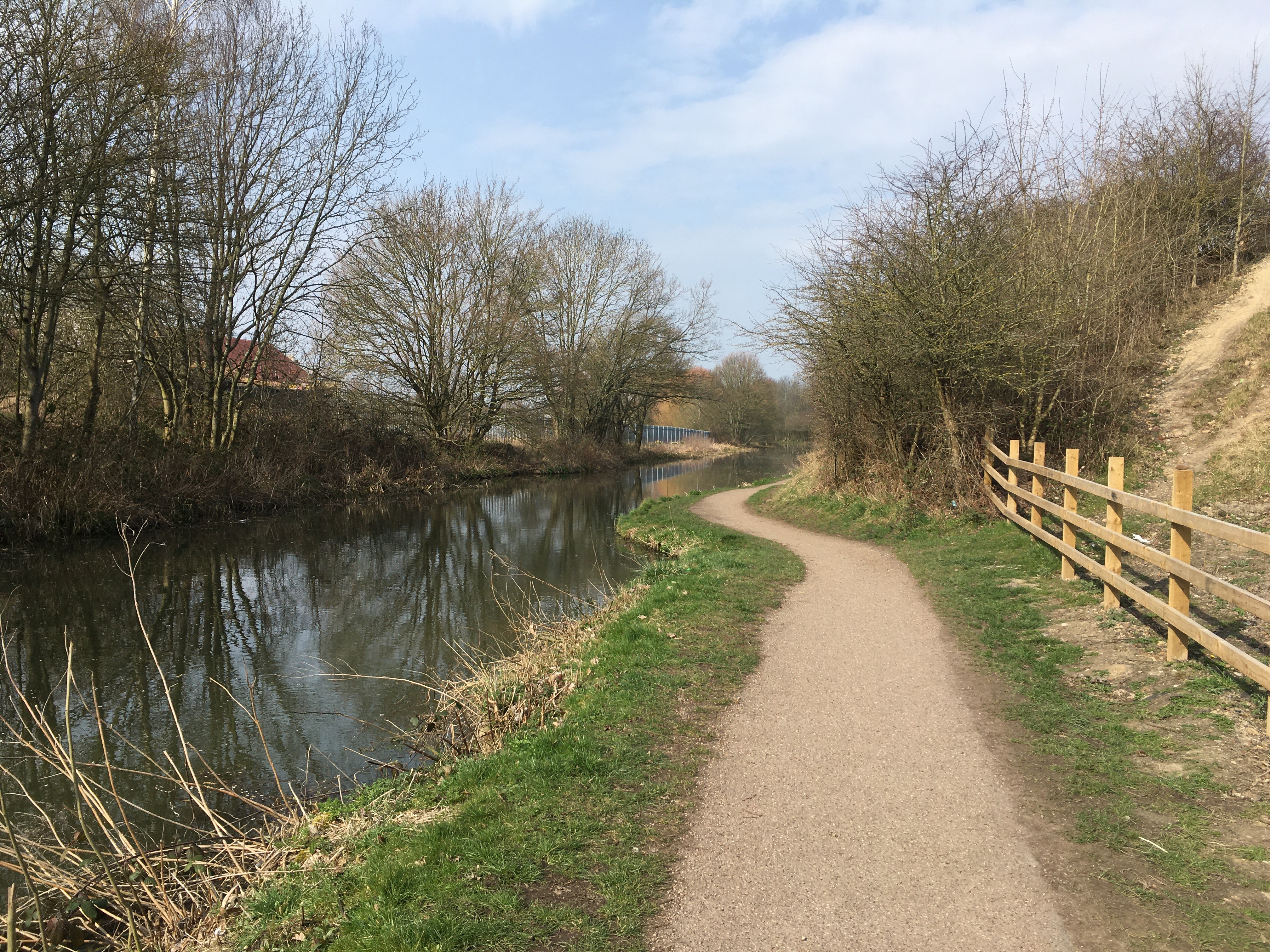
I have created the map so that it can easily be captured and printed off. I have just done it and have a perfectly readable A4 page in front of me. If you can find the leaflets referred to, then great, but you don't need them. There is plenty of signage along the Erewash Canal and by Bennerley Viaduct.
CLICK ON THE IMAGE TO ENLARGE.

For the moment just enjoy the pics (yet to be put in geographical order) and explore the weblink with The Friends of Bennerley Viaduct.
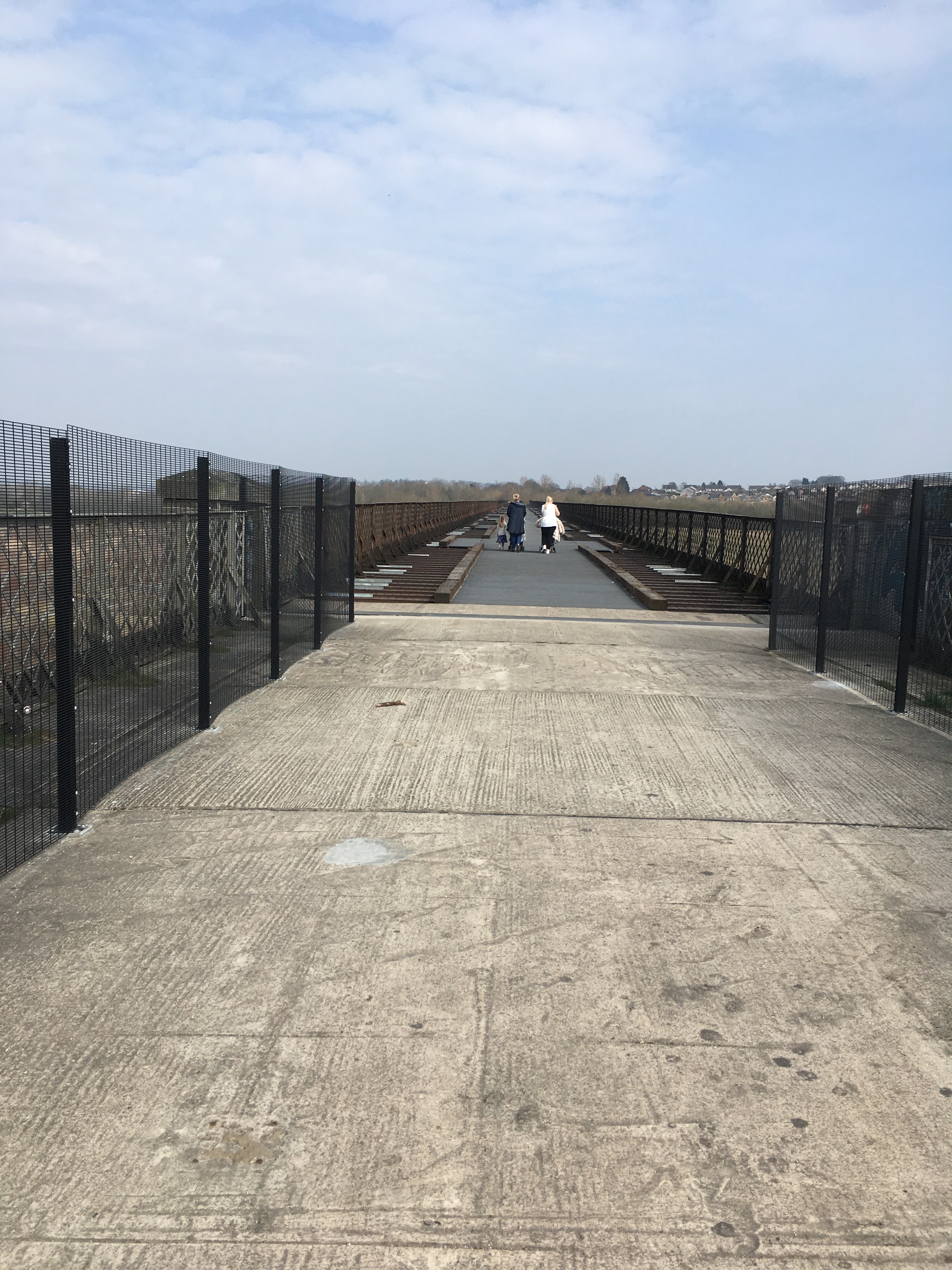
A map showing frequent Trent-Barton daily bus links and my text will follow on Saturday, other than to say Susan and I took our first walk across Bennerley Viaduct yesterday after years of seeing it from the Erewash and abandoned Nottingham canals. Thanks to FoBV it has recently opened as a foot and cycle path.